
Driving Innovation, Mastering Execution
ZID (Zenith InnoDev) delivers innovative project management and drone service integration for SMEs in Dubai, unifying mechatronics, 5G and AI to replace outdated solutions.
Our Services
Project Management Services
Rapid, efficient implementation of new services and equipment for SMEs in Dubai, with tailored project execution across mechatronics, drones and AI-driven workflows.
Drone Services
End-to-end drone services from surveying and mapping to facade inspection, solar panel analysis and aerial virtual tours, with customized integration options.
Gallery
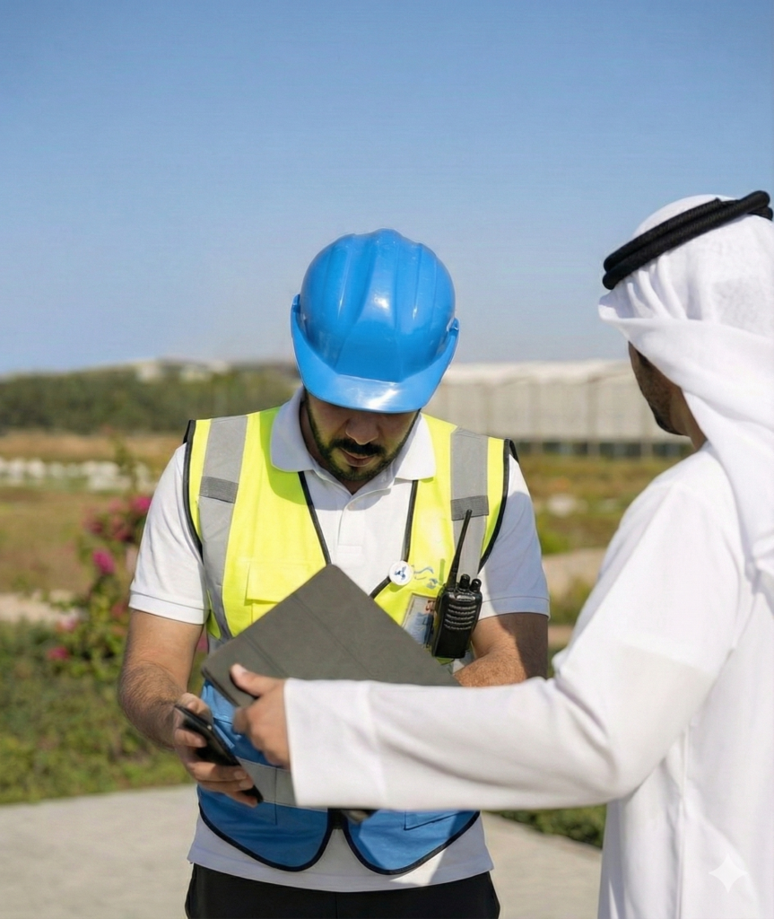
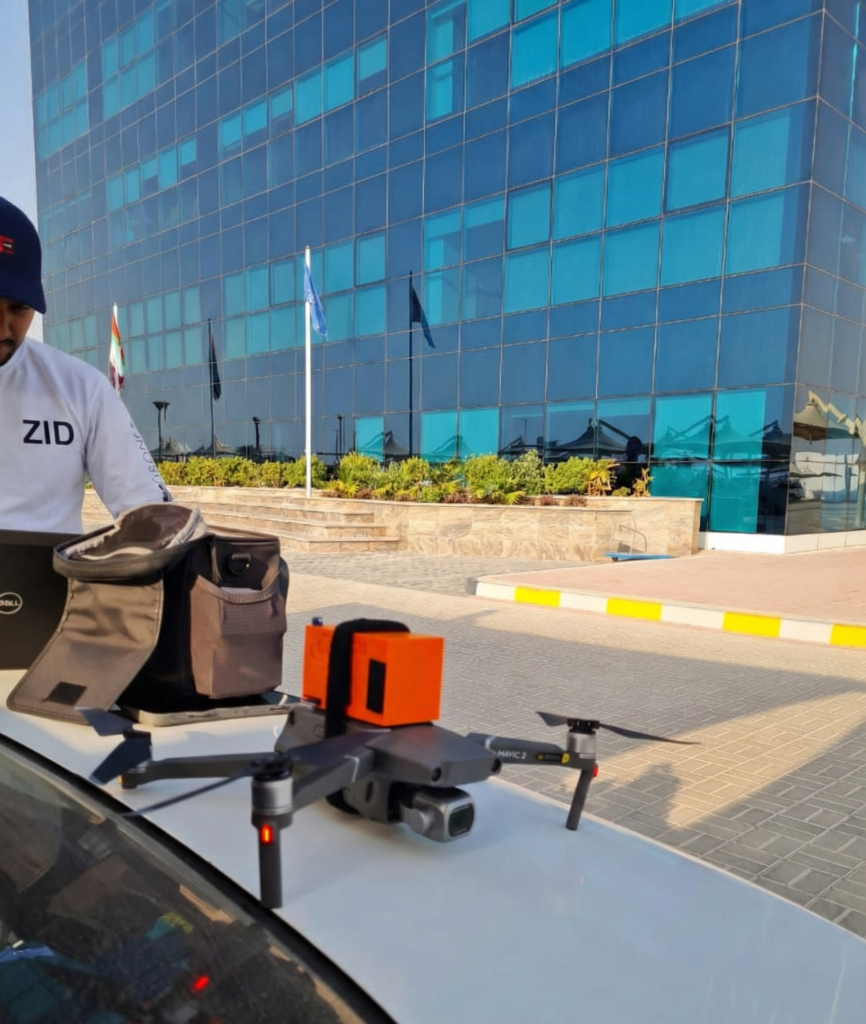
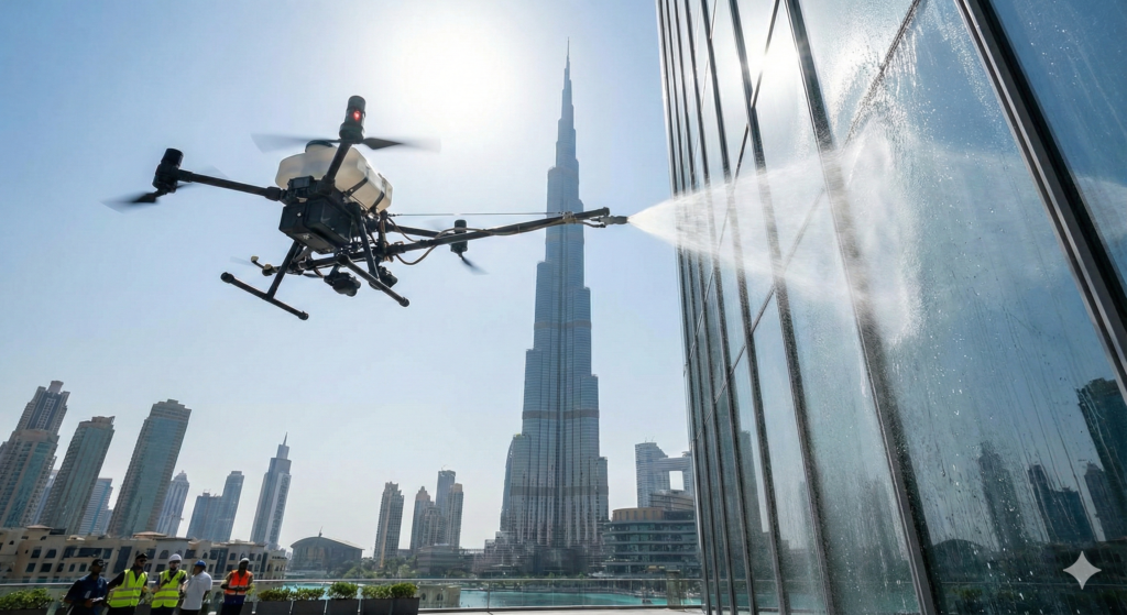
Explore our work in project management, drone services, and innovative technology solutions.
Why Choose ZID?
Innovative Project Management
Cutting-edge solutions for optimized execution using mechatronics, drones and AI.
Commitment to Excellence
High-quality standards in every engagement, from planning to completion.
Client-Centric Approach
Tailored strategies for SMEs in Dubai, focused on real business outcomes.
Latest Articles
Stay updated with insights on project management, drone technology, mechatronics, and innovation in Dubai.
-

What ArcGIS-Ready Drone Service Deliverables Actually Look Like (And Why Clients Ask for Them)
More UAE clients are no longer asking only for “drone photos” or “a nice 3D model.” They are asking for ArcGIS-ready deliverables—files and layers that drop into their GIS, asset register, or digital twin stack without a week of cleanup. If you buy drone services—or sell them—this shift matters. The difference between a media package…
-
How to use Satellite and Drone Data for Risk Mapping
Boards, regulators, and insurers are asking tougher questions every year: For asset owners in the UAE, satellite and drone data, connected through GIS, provide a powerful answer. This article shows how to use these technologies for risk mapping, compliance assurance, and resilience planning across your portfolio. 1. From Static Risk Registers to Living Risk Maps…
-
Vegetation Index Workflows with Satellite and Drone Multispectral Data: A Practical Remote Sensing Guide
Vegetation indices—especially NDVI and related multispectral metrics—are often presented as magic green maps. In reality, they are useful only when embedded in a combined remote sensing workflow: satellite for broad monitoring, drones for high-resolution verification, and GIS for decisions. This guide explains how to build that combined workflow for UAE and regional contexts where vegetation…


